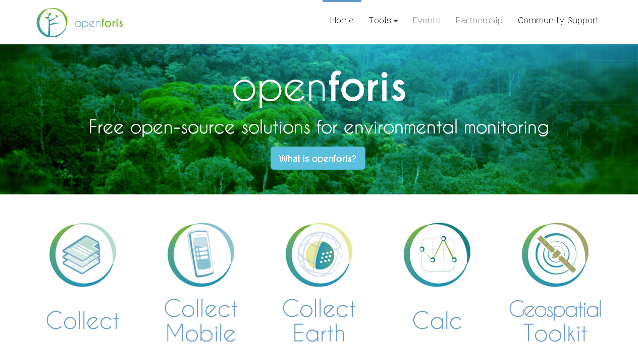
The Open Foris online platform was recently unveiled by the United Nations. This is a new software developed in partnership with Google to help tackle climate change, deforestation, and food production issues. The United Nations’ Food and Agriculture Organization (UNFAO) launched the Open Foris online platform that will use a high-resolution satellite to send images to monitor changes in land use and forest cover.
The deployment of Open Foris is a big help is the journey towards mitigating climate change impacts on the environment and food production. This is useful for as many who are involved in providing solutions in this area. Most especially for the attainment of the sustainable development goals. Public and private organisations can use the tool to perform various environmental monitoring processes.
According to UNFAO, the Open Foris online platform will be free of charge and available for everyone. This includes members of the public. Anyone will be able to monitor the misuse of natural resources. The software will also allow scientists, policy makers, and governments to assess things such as the carbon storage capacity of a certain area.
For me, the Open Foris online platform is very important because it can be used for the inspection of water resources. Water resources are sources of water that are useful or potentially useful for agricultural, industrial, household, recreational and environmental activities.
Key features of Open Foris
– User Friendliness: Nice web interface; Designed based on real users’ needs, No need for technical skills to use it.
– Rapid Data Entry: Limited use of mouse needed; Data entry using only keyboard; Auto-complete; Species list search; Immediate feedback on errors/warnings.
– Highly Configurable: Design the survey from scratch or starting from a template; Data entry user interface is automatically generated and metadata driven; Validation rules (distance, comparison, pattern…); Multiple layouts (form, table, multiple columns form).
– Multiple data types: Basic Types – Text, Number, Boolean, Date, Time. Complex types – Range, Coordinate, File, Taxon. Plus, support for calculated values.
– Multi-user or standalone: It can be used in a standalone environment with no need for internet connection; Data can be exported from single/standalone installations and imported into a centralised installation to create a complete data set; In a multi-user environment, users can work only on owned records.
– Controlled QA workflow: Record goes through different steps: Data entry, Data cleansing, Data analysis. Minimised “data cooking”.
– Rich metadata: XML format, Complex nested structure of the survey, Validation rules, Multiple Spatial Reference Systems.
– Multilingual: Define the survey in multiple languages – Tab labels, Input field labels, Validation messages, Code item labels, Element info tooltips. The user will see the survey in the language of his/her web browser or in the survey default language.
– Multiple data export/import formats: XML, CSV, Relational database.


